Backroad Maps Kawartha Highlands Provincial Park Ontario
Covering all of Kawartha Highlands Provincial Park, this Ontario topographic recreation map highlights all the paddling routes, backcountry campsites, paddling access points, and portages for canoers, campers, anglers, hikers, and backcountry enthusiasts. Showcasing frontcountry and wilderness campsites, portage locations and distances, boat launches, fishing hotspots, and waterfalls, there is a lifetime of outdoor adventures to be found here.
This map features our industry-leading topographic contours and relief shading, as well as roads, padding routes and trails, and ATV and snowmobile areas outside the park. Included on the map are Apsley, Buckhorn, Burleigh Falls, Catchacoma, Anstruther Lake, Buzzard Lake, Chandos Lake, Gold Lake, Mississagua River, Rathbun Lake, Serpentine Lake, Shark Lake, Sucker Lake, Turtle Lake, and more! No other map covers all of Kawartha Highlands Provincial Park with this level of recreation detail.
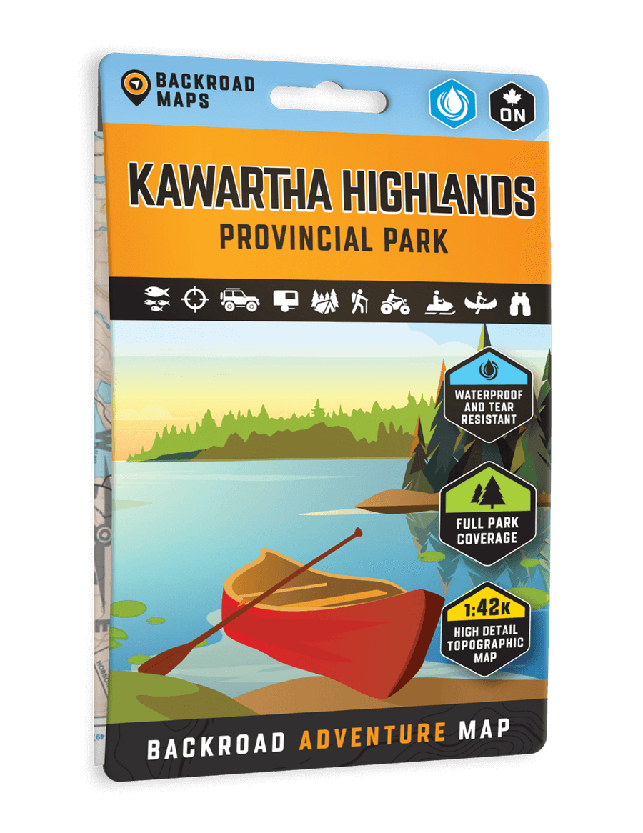
The printed version of the map is displayed at 1:42,000 scale on 5x8.25 inches (folded) / 27.8×39.4 inches (unfolded) paper on a durable waterproof synthetic material.
Print Features:
-
NEW: Now in an easy-to-read, bigger format, 5x8.25 inches (folded) / 27.8×39.4 inches (unfolded)
- NEW: In addition to the maps, we have included several trip planning sections with information about the park, camping, resorts, outfitters, paddling routes, fishing lakes & streams, hiking & multi-use trails, access points and tips & techniques.
- Printed on durable waterproof, and tear-resistant material
- Includes industry-leading cartographic detail and state-of-the-art relief shading
- Countless points of interest, hiking trails, campsites, boat launches, paddling routes and more!
- Regular price
- CAD 25.00
- Sale price
- CAD 25.00
- Regular price
-
CAD
Couldn't load pickup availability